THOM
Telling History with Original Maps
My work deals with how history and geography are connected. Consider the development of villages and cities or their relationship with the surrounding landscapes, defining and mapping transnational landscape typologies, or the development of large-scale infrastructures such as railways, water-systems and colonial projects.
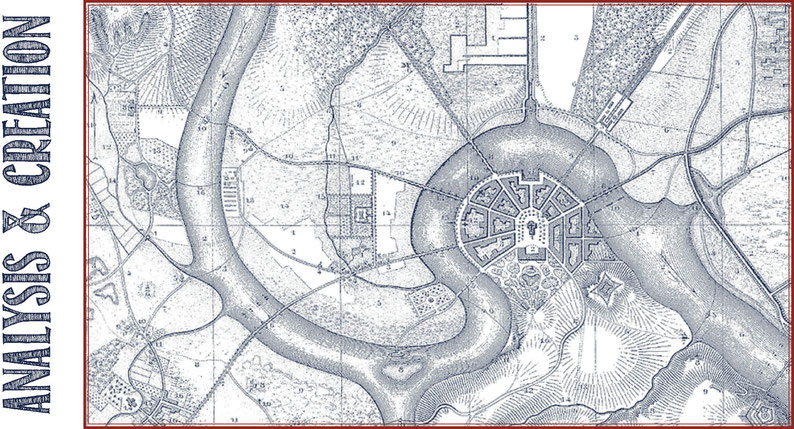
For this I always use original maps. On the one hand I study old maps as historical sources on the other I make digital maps myself on the basis of a Geographic Information System (GIS).
In both cases my studies contribute to answering (academic) research questions or in providing historical geographical insights that are valuable for practical challenges. Here one can think of the inventarisation of heritage and identities, how these affect the interpretation and appreciation of artefacts, or how heritage and climate change are related.
Scientific Research, Heritage & Advice
I am closely involved with (academic) research, heritage and public outreach projects. I also provide advice to organizations and individuals about the use and interpretation of historical mapping material and the design of Geographical Information Systems in line with academic standards.

Projects
My work has led to a wide variety of projects for different clients. For example the project Verstedelijk Laagland (Urbanisation of the Lowlands) for the University of Delft, the project The spatial rail- and tramway legacy for the Province of Utrecht; Sandy landscapes of North Western Europe (The Dutch National Agency for Cultural Heritage) and European landscapes with an unique name (University of Wageningen).
Media

Projects often generate new questions and discussions. In addition the insights that have been developed, these are important and/or interesting for a wider public. Below you can see the publications, lectures and other media output I generated.
ABOUT ME

In addition to my own company THOM, I have held various positions.
For example, I worked at various universities, I am editorial secretary of the Dutch Journal of Historical Geography and a board member of the Historical Geographical Association in Utrecht.
Earlier, I was a member of provincial advisory committees on environmental quality.
You will also find here my ambition, motives and interests.
Practical
THOM has no historical, geographical or thematic limitations. Hence, there is a lot of freedom to design projects together with clients. If a project requires this, I have an extensive network of
experts on various themes.
Disclaimer
All my products and services are supplied with an extensive account of the development, including an explanation of the theory, method, literature and sources used. This allows the client and future users to check and assess the choices and logic behind the product. This contributes to the insight for which the products can be used and promotes qualitative (scientific) (re) use.

